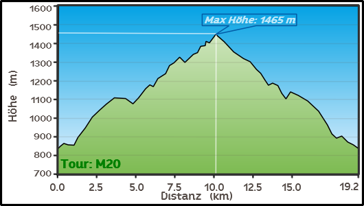
| Route description This route is best traveled during dry weather. The final destination is an alpine pasture area that is ideal for hiking. |
 |
 |
 |
|||
 |
 |
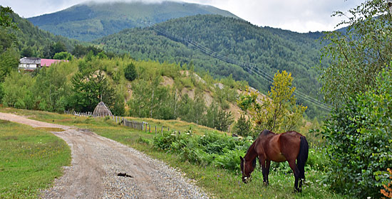 |
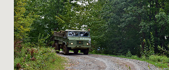
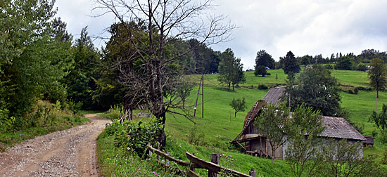
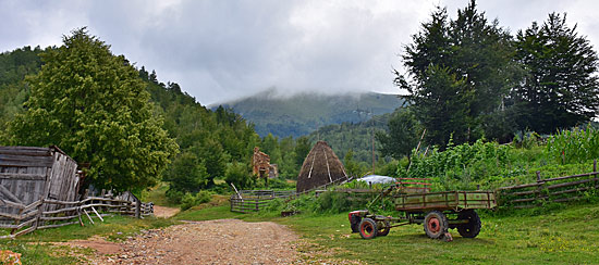
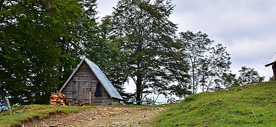
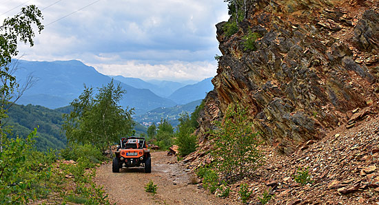
| For the first few kilometers, you may encounter logging trucks. After the logging point, the trail climbs through mixed forest toward a mountain hut open in summer. From here, the trail becomes more earthy and leads past the foot of a bare, cloud-shrouded peak, through a forest grove to another meadow. The meadow is an inviting place for a rest and picnic along the stream. Passing colorful mountain slopes (a former mine), you approach the end of the trail. |
 |
 |
|
Passing colorful mountain slopes (former mine) you approach the end of the route. |
 |
<--- Back to Montenegro Overview
Order item (eBook as PDF file including GPS data)
 Offroad routes Montenegro (English language)
The 20 off-road routes in Montenegro are available as an e-book (PDF file) for your mobile phone, tablet, or PC/laptop.
Important: The ebook is in English
Included in delivery: 1 e-book including GPS data download
Detailed information about our e-books
 GPS - Data
(included with e-book) for the individual navigation systems such as Garmin, Tomtom, BMW Navigator (only 4, 5 and 6) + GPX TRacks POI/waypoints and routes for downloading via the Internet (more info click here)
| Order item (eBook as PDF file including GPS data) | |
|
|
 GPS - Data GPS - Data (included with e-book) for the individual navigation systems such as Garmin, Tomtom, BMW Navigator (only 4, 5 and 6) + GPX TRacks POI/waypoints and routes for downloading via the Internet (more info click here) |
 Albania
 Romania Offroad
 Slovenia
 Pyrenees Offroad
 Iceland Offroad
 Croatia
 Montenegro
 Morocco Offroad
 Tunisia
 Andalusia1 (Spain)
