|
Route Description |
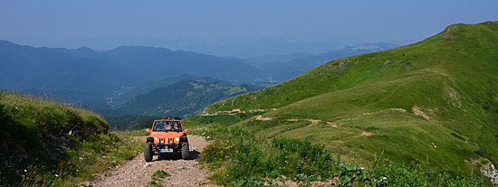 |
 |
 |
|||
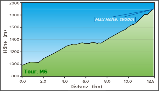 |
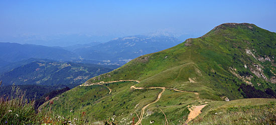 |
 |
|
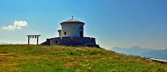
The end point of the trail is the chapel of the women's monastery, located at an altitude of 1893m. |
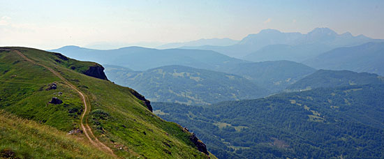 |
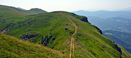 |
| Panoramic view from the chapel. |
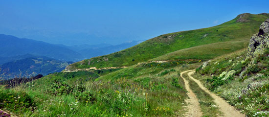 |
<--- Back to Montenegro Overview
Order item (eBook as PDF file including GPS data)
 Offroad routes Montenegro (English language)
The 20 off-road routes in Montenegro are available as an e-book (PDF file) for your mobile phone, tablet, or PC/laptop.
Important: The ebook is in English
Included in delivery: 1 e-book including GPS data download
Detailed information about our e-books
 GPS - Data
(included with e-book) for the individual navigation systems such as Garmin, Tomtom, BMW Navigator (only 4, 5 and 6) + GPX TRacks POI/waypoints and routes for downloading via the Internet (more info click here)
| Order item (eBook as PDF file including GPS data) | |
|
|
 GPS - Data GPS - Data (included with e-book) for the individual navigation systems such as Garmin, Tomtom, BMW Navigator (only 4, 5 and 6) + GPX TRacks POI/waypoints and routes for downloading via the Internet (more info click here) |
 Albania
 Romania Offroad
 Slovenia
 Pyrenees Offroad
 Iceland Offroad
 Croatia
 Montenegro
 Morocco Offroad
 Tunisia
 Andalusia1 (Spain)
