| Important information about the symbols click here | ||||
|
Route Description |
|
|
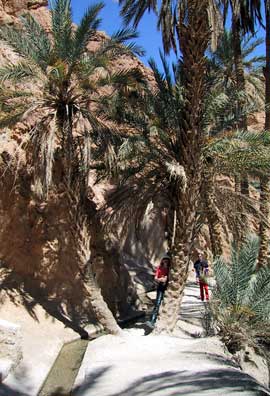 |
We photographed the ruined city of Tamerza. Continuing to Mides, you drive through an oasis and reach a main square with two cafes. We stopped, drank Coke and peppermint tea. We haggled over some chalcedonite (quartz), and then went to photograph the gorge. Five minutes through the houses from the cafe to the right, and about 10 minutes to the left on a track where there used to be campsites—now all closed because the government no longer permits them. At the end of the track/gorge, there are several stalls selling stones and souvenirs, where you can take wonderful photos. 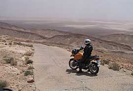 |
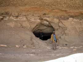
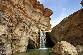
| We drove back the same way, stopped at a waterfall, and continued through the El Hamma Oasis to Tozeur. After a short while, we reached a hilltop, with a branch road leading to a plateau on the left about 30m ahead. It's worth taking a break on this plateau; you can find numerous fossils, shells, fish teeth, etc. Beneath the plateau is a cave that was created during phosphate mining (7km long, according to a local). | 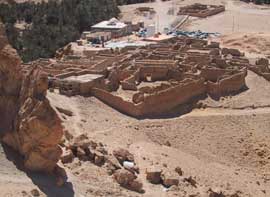 |
 |
At the top of the hill, you should proceed with caution, as there's a sharp left turn. Straight ahead, it's a few hundred meters into nothing. Now the Rommel track takes on a gentler tone; the gravel track has been replaced with concrete slabs. In the valley, after crossing the mountains, you return to a hard-packed sand track with some soft sand sections (sand drifts). The route then joins the main road to Tozeur (approximately 55 km earlier). |
|
Where: Route Length: Difficulty: |
 |
|
|
Onlineshop Tunisia Ebook (EN)
| Info order item (e-book) | |
|
|
 |
|
| GPS data (included with the e-book) for individual navigation systems such as Garmin, TomTom, BMW Navigator, or GPX files for a mobile navigation app are included with the e-book. |
 Albania
 Romania Offroad
 Slovenia
 Pyrenees Offroad
 Iceland Offroad
 Croatia
 Montenegro
 Morocco Offroad
 Tunisia
 Andalusia1 (Spain)


